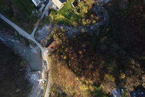
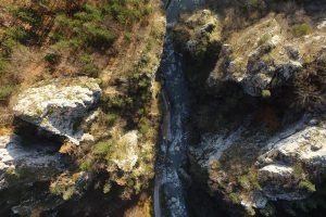
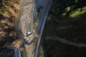
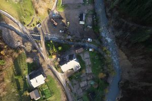
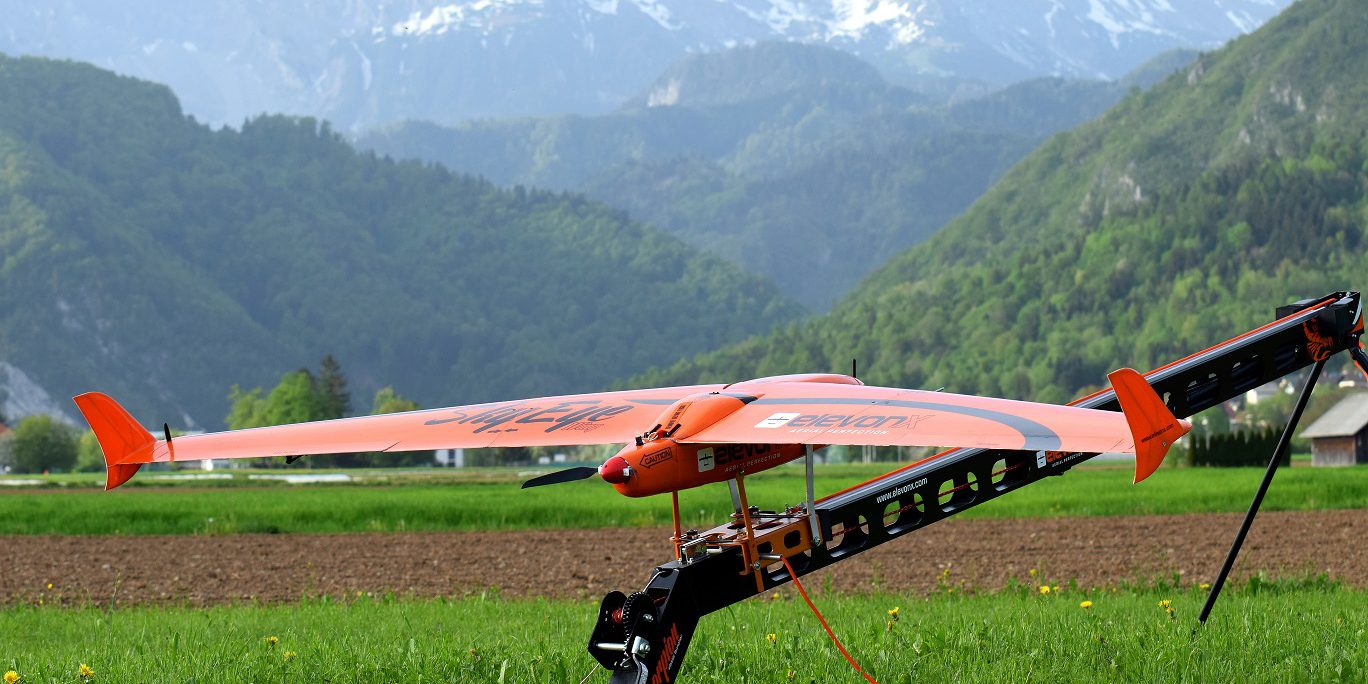
ElevonX SkyEye Delta was used for mapping mission in tight and winding alpine valley after severe flooding event in November 2018.
Mission plan was carefully planned and thoroughly evaluated by our skilled team using SIL simulation before actual mission in order to guarantee successful data acquisition and safe flight.
Data was quickly processed using Pix4D software and made available for effective coordination of emergency services and damage estimation.
